Spatial Data Infrastructures in Europe
by Ian Masser
Key words: data, information, Spatial Data Infrastructure.
Abstract
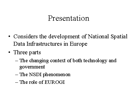
The presentation will consider some recent developments in spatial
data infrastructures in Europe. It will be divided into three parts.
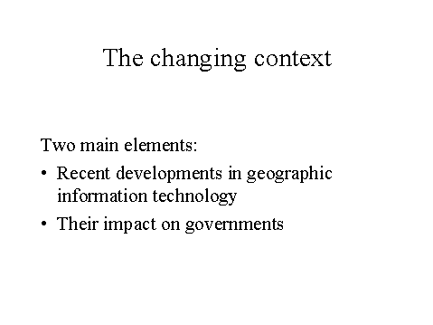
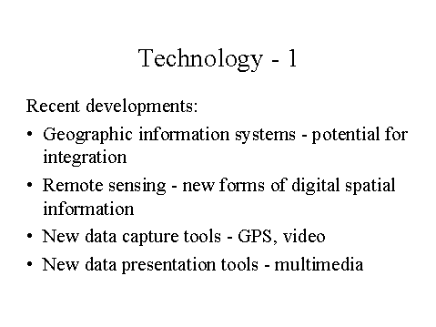
The first of these examines the changing technological and
governmental context that has prompted the recent surge of national
spatial data infrastructure initiatives in Europe and elsewhere in the
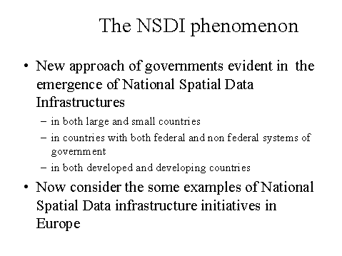
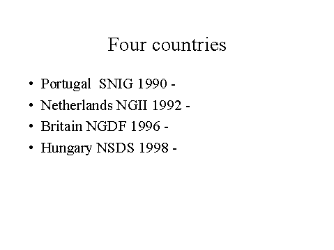
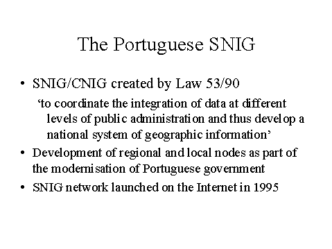
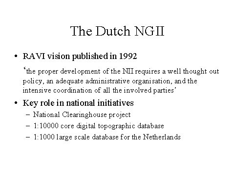
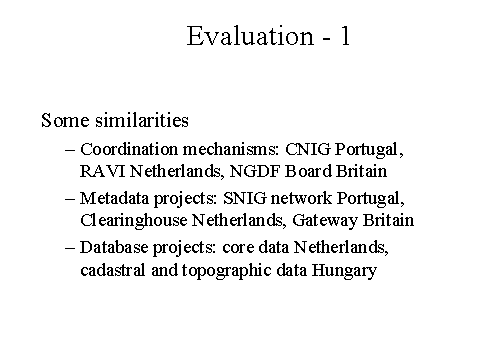
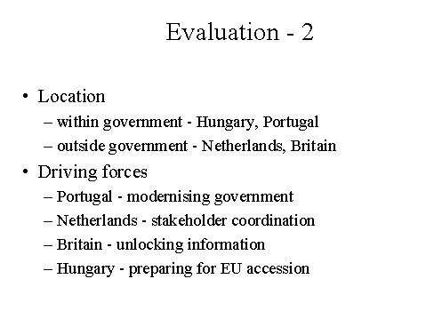
world. Then the experiences of NSDI initiatives in Portugal,
Netherlands, Britain and Hungary will be described and evaluated in
comparative terms. The final part of the presentation will describe
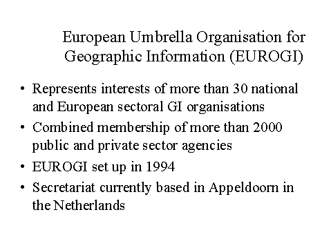
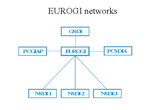
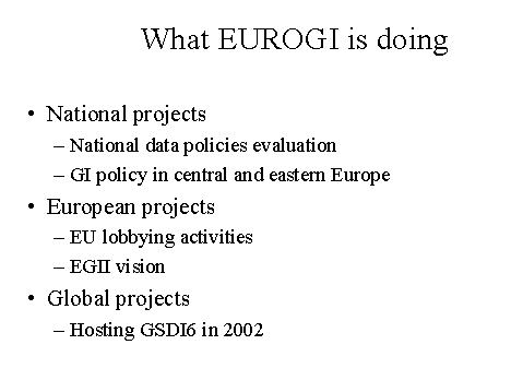
the work that is being currently undertaken by the European Umbrella
Organisation for Geographic Information (EUROGI) to facilitate the
development and implementation of spatial data infrastructures at the
national, regional and global levels.
Ian Masser
President
European Umbrella Organisation for Geographic Information (EUROGI)
Jean Monnetpark 1
NL-7336BA Apeldoorn
THE NETHERLANDS
Division of Urban Planning and Management
International Institute for Aerospace Survey and Earth Sciences
Hengelostraat 99
NL-7500AA Enschede
THE NETHERLANDS
E-mail: masser@itc.nl
Spatial Data Infrastructures in Europe


Ian Masser
President
European Umbrella Organisation for Geographic Information (EUROGI)
Division of Urban Planning and Management
International Institute for Aerospace Survey and Earth Sciences
E-mail: masser@itc.nl
25 April 2000
|