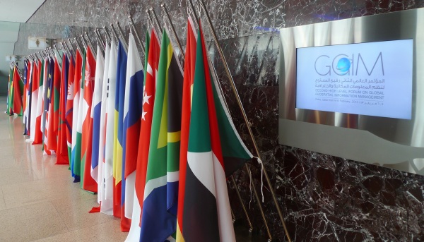
The United NationsSecond High Level Forum on Global Geospatial Information ManagementDoha, State of Qatar, 3-6 February 2013
The Forum was staged pursuant to the mandate from the United Nations Economic and Social Council (ECOSOC) to convene global forums to promote comprehensive dialogue on global geospatial information management with all relevant governments, non-governmental organizations and the private sector. The Forum provides member states and stakeholders the unique opportunity to share and learn from each other to support local, regional and global sustainable development initiatives. The United Nations initiative on Global Geospatial Information Management (UN-GGIM) aims at playing a leading role in setting the agenda for the development of global geospatial information and to promote its use to address key global challenges. The Forum was hosted by the Qatar Statistics Authority at the recently constructed Qatar National Convention Centre in Doha. It was co-organized by the Secretariat of the United Nations Committee on Global Geospatial Information Management, UN Statistics Division, UN Department of Economic and Social Affairs. The Second High Level Forum was presided by Sheikh Hamad Bin Jabor Bin Jassim Al Thani, President of the Qatar Statistics Authority, State of Qatar. The Forum was officially opened by the Prime Minister of Qatar, H.E. Sheikh Hamad Bin Jassim Bin Jabr Al-Thani who observed that the Forum came at a time when countries and regions are facing societal, environmental, economical and political challenges that impact national and global development and growth. H.E. observed that the use of information linked to location is instrumental in addressing these challenges.
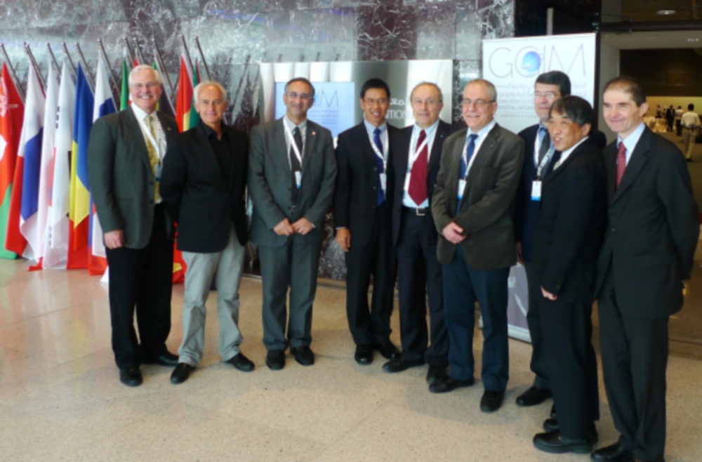
Five sessions followed the opening session. The opening session included a video address by Mr Hongbo Wu (Under Secretary General for United Nations Economic and Social Affairs) and addresses by Sheikh Hamad Bin Jabor Bin Jassim Al Thani, Dr. Vanessa Lawrence (Co-Chair of the UN Committee of Experts on GGIM) and Prof William Cartwright (Chair of the Joint Board of Geospatial Information Societies) was the Ministerial Segment. The five sessions addressed “Building a National Geospatial Information System: Driving Forces, Success Stories”, “Future Trends in Geospatial Information: Growing the Information Base, Promoting Greater Use”, “Developing an Effective Global Geodetic Reference Framework and Supporting Location-based Services”, “Geospatial Information and Sustainable Development (Rio +20)” and “Challenges in Developing Core Global Reference Datasets”. The Forum issued the Doha Declaration: Advancing Global Geospatial Information Management. The Forum:
The Forum was preceded by a one day Exchange Forum with the Geospatial Industry facilitated by United Nations Cartographic Section and JBGIS with the theme “Future Proofing the Provision of Geoinformation: Emerging Technologies”. The Exchange Forum focused on methodologies and technologies used to determine place, facilitate information capture, ensure accessibility and usefulness of place-based information. This was a pre-conference exchange that facilitated the continued involvement of the geospatial industry at the most senior levels, discussing and demonstrating the trends and directions the industry is heading. The Exchange Forum concluded that future proofing the provision of place-based information that is critical to national, regional and international efforts and collaboration to address challenges faced by communities and nations such as food security, climate change, rapid urbanization and sustainable economic development, to name some, require an international mandate on a global reference frame, strategies to demonstrate societal and economic returns and benefits, intensify multi-disciplinary cooperation and promoting visualization and publishing of spatially enabled information to non-specialist users via mobile devices. The Exchange Forum noted:
The Exchange Forum recognized:
Cognizance and consideration should be given to the statement made by H.E. Jean-Bertin Quedraogo, Minister of Infrastructure and Development, Burkina Faso at the Ministerial Segment of the High Level Forum that “specialists in the production and management of geographic information are poorly organized in my country as it is also the case in many African countries. People without basic knowledge on geo-information turn to be producers of topographic maps, which results in disrespect of production norms, the duplication of data, the lack of inter-operability of the data coming from diverse sources. The availability of high-level human resources to manage geographic information is therefore a major challenge”. For additional information on UNGGIM, please refer to http://ggim.un.org/2nd%20HLF.html
CheeHai TEO 18 March 2013 |