Reference Frame in Practice Technical Seminar
4-5 May 2012 Rome Italy
The IAG, (International Association of Geodesy), FIG and ICG
(International Committee on GNSS) held a technical seminar prior to the
Working Week, on 4-5 May 2012. This event was held at the Cassa Geometri
(Cassa Italiana Di Previdenza Ed Assistenza Dei Geometri Liberi
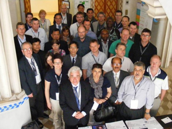
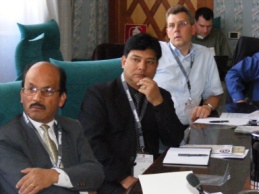
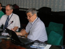
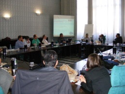
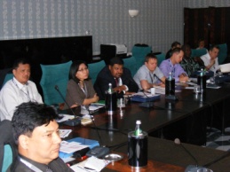
Professionisti). 42 delegates were present on both days to listen and
discuss presentations on -
- The Role of Geodesy–GGOS and Future Trends by Prof. Chris Rizos
President IAG – This presentation provided an overview of the transition
from traditional to modern geodesy, describing the evolution of roles,
impact of services, central importance of reference frame definition,
contributions to geoscience and GGOS.
- Global Terrestrial Reference Systems and Frames by Dr Zuheir
Altamimi, who discussed theory relating to ITRS / ITRF / WGS-84;
associated transformations; how ITRF is determined; and how geodetic
techniques (VLBI, GNSS, DORIS, SLR) contribute to ITRF.
- Regional and National reference systems by Eng. Joao Torres and Dr
John Dawson. This session described the mathematical relationship
between the ITRF and regional or national reference frames using EUREF
and APREF as case studies. The topics covered included the definition,
realisations, GNSS CORS infrastructure and campaigns, transformations,
and monitoring of such regional reference frames.
- Worked examples of Terrestrial Reference Frame Realisations by Dr
John Dawson, Prof Volker Schwieger, and Mr Nic Donnelly. In this session
delegates were provided additional case studies from countries
describing how their geodetic datum has been realised in relationship to
a regional reference frame or ITRF and any local problems and issues. It
also included the discussion of issues for an intra-plate country as
opposed to one across a plate boundary.
- IGS Services and Other Initiatives by Ms Ruth Neilan. In this
presentation, an overview on how these services and other initiatives
contribute to global reference systems; regional and national reference
systems; organisational benefits; and how do agencies participate i.e.
requirements was provided.
- Gravity and WHS by Dr Dan Roman. In this session, the presenter
focused on the relationship between various aspects of the Earth's
gravity field such as the geoid, geopotentials, gravity, deflections of
the vertical, and physical heights (e.g., above mean sea level). It also
covered the different means of observing the gravity field and how they
are combined to produce models for height determination both at global
scales, such as the World Height System, and locally for National
Vertical Datums.
- Multi GNSS Environment by Ms Sharafat Gadimova, Dr Lawrence Lau, and
Mr Larry Hothem. The presenters provided an overview of the ICG work
plan, its activities, and the Providers Forum. There were also
presentations on the’ state of play’ and ‘emerging issues’ relating to a
multi GNSS environment. This included information relating to signals,
augmentation and space; the technical effects of a multi GNSS
environment on reference frame infrastructure, positioning applications
and techniques.
- Standards and Traceability of a Terrestrial Reference Frame / GNSS
by Dr David Martin and Mr Larry Hothem. This session provided an
overview of the standards, best practice and traceability respect to
reference frames, GNSS measurements, GUM, the ISO 9000 series of
standards, the ISO 17123 series and TC211. It also included the status
of Geodetic Network Registry.
- Four dimensional deformation models for Terrestrial Reference Frames
by Mr Graeme Blick and Mr Richard Stanaway. The presentations examined
the concepts of 4 dimensional datums; the pros and cons of static,
semi-dynamic datum and dynamic datums; and the development of
Deformation Models which incorporate the effects of events such as
earthquakes. The information was explained through case studies from
Australia and New Zealand.
The organizers of this seminar would like to thank Cassa Geometri,
Trimble Navigation, ESRI and the hosts CNGeGL for their support and
assistance to make this event a success. We would also like to thank UNOOSA
(United Nations Office for Outer Space Affairs) for their generosity as they
sponsored 4 delegates to attend this seminar.
Rob Sarib and Mikael Lilje
May 2012
06 June 2012
|