Working Group 3.3
User-Generated Spatial Content Empowering Communities
Policy Issues
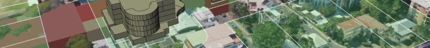
The neogeography revolution of Volunteered Geographic Information
(VGI) and Participatory Mapping encapsulates the idea of communities
that create, share, visualize, and analyze geographic and geospatial
information and knowledge. Spatial Data Infrastructure (SDI), as well as
Spatial Information Management (SIM), can benefit greatly from the use
and integration of this paradigm. User-generated spatial content is
becoming a legitimate and reliable spatial, environmental and
sustainable infrastructure on local and global scales. It enables
citizens and communities to take part in processes having geospatial
aspects, having a direct contribution on their life, empowering and
mandating them as pertinent stakeholders.
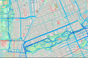
The emphasis of Working Group 3.3 will be on the investigation and
identification of initiatives and projects that make use of
user-generated spatial content as an enabler to processes,
infrastructures and services to communities. Focus will be given to
collection, processing, mining, interpretation, administrative, and
analysis levels. Working Group 3.3 will search and learn new means and
technologies on how to exploit and make use of user-generated spatial
content and derived information to geoscientific disciplines, such as
mapping, land surveying, GIS, land administration and cadaster,
navigation – and more.
Working Group 3.3 will aspire to motivate and work with scholars,
professionals and communities, with the focus on developing countries,
where this has the potential to contribute and strengthen utmost.
Working Group 3.3 will aim to have joined and mutual interests and
sharing of ideas and knowledge with other FIG Commissions, specifically
Commission 2 (on Professional Education), Commission 7 (on Cadastre and
Land Management) and Commission 8 (on Spatial Planning and Development).
Chair
Prof. Sagi Dalyot (Israel)
email: dalyot[at]technion.ac.il
Specific topics
Utilization of crowdsourced user-generated spatial content in
SDI, SIM and environmental knowledge
Working methodologies of user-generated spatial content in
developing countries
User-generated spatial content collection, analysis, and
visualization
Crowdsourced land administration management tools
Initiatives of spatial information solutions addressing global
and national challenges