Vice President Chryssy Potsiou participates in International
Seminar on Land Administration and Management
12 April 2011 Prishtina, Republic of Kosovo
|
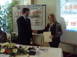
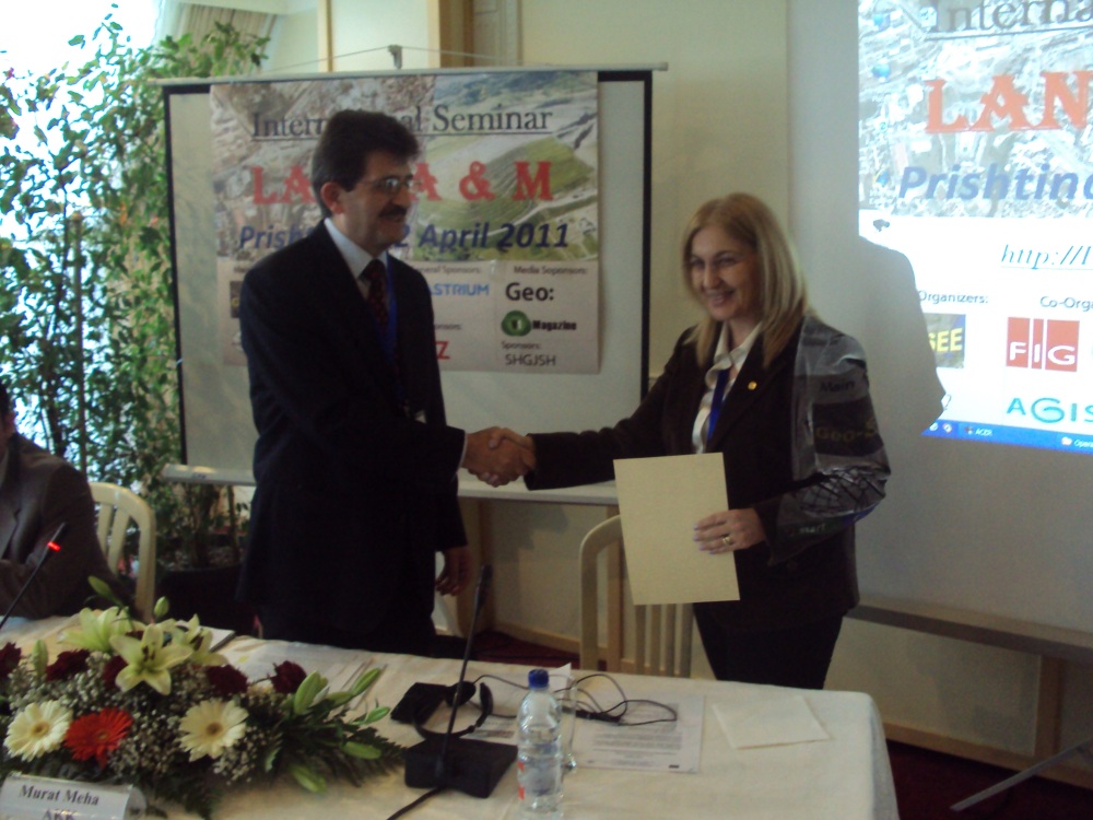
Murat Meha, chief of the Kosova Cadastral Agency and Vice
President Chryssy Potsiou |

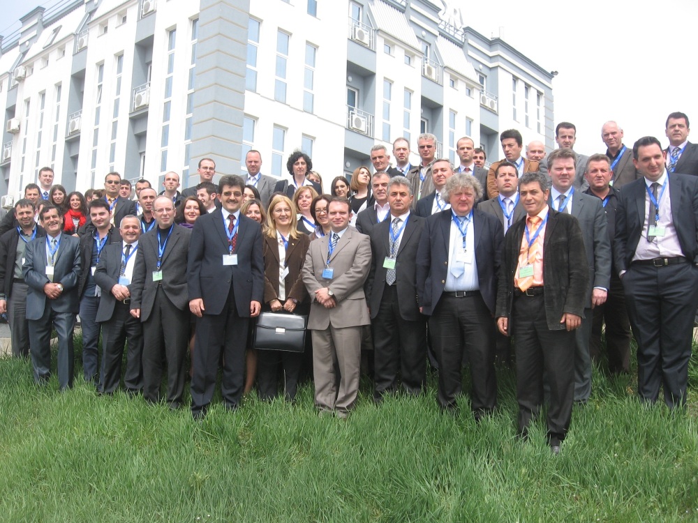
All participants of the Seminar
|
The “International Seminar on Land Administration and Management” was
organized in Prishtina, Kosova, on the 12th of April 2011, by Geo-SEE and
its President Prof Bashkim Idrizi from FY Republic of Macedonia and
Kosova Cadastral Agency and its Chief Executive Officer Prof Murat Meha
and was supported by FIG, AGISEE and Geography department of SUT. The main
sponsors were Astrium, GIZ, GeoConnexion and Vector1Media, and the Albanian
Association of Geodesy.
It was a well organized and very important Seminar for the region that
was attended by 94 participants from 34 organizations from 13 different
European countries. The technical Program included 2 sessions with 13
presentations that can be found at the Seminar’s web site
http://LandAM.geo-see.org, as well
as 2 technical/marketing presentations made by Astrium and GIZ.
There were 2 keynote speeches, one made by Prof. Chryssy Potsiou
who represented FIG with a title: “Compulsory Purchase and Compensation in
EU-Land Takings in Greece”, and another by Prof. Murat Meha, Kosova,
Chief Executive Officer of Kosova Cadastral Agency, Kosova, with a title:
“Land administration and management in small countries and Kosova”.
Based on the abstracts, presentations, keynote speeches and discussions,
the resolutions of this Seminar can be summarized as following:
- Security of legal rights, land registration, administration and
management are an ongoing project in most countries in the region of
South-East Europe (SEE);
- Land registration process is one of the main challenges of all
cadastral agencies in the region of SEE;
- Land administration and land management are quite young terms that
emerged during the last decades of the 20th century;
- Land policies are changing in the 21st century, and there is a need
to develop appropriate land tools;
- There is lack of understanding of the importance of land
administration and land management among governmental institutions;
- Decision makers are not so familiar with the necessity of land
administration and management;
- There are no completed operational Land Parcel Identification
Systems in the region of SEE;
- Digital land data are under the developing process in the developing
countries in the region;
- Many governmental institutions are responsible for land
administration and management, without fixed rules and responsibilities
within the state system;
- Main actors of land administration and land management systems
within the governmental institutions in the countries of SEE are
cadastral and mapping agencies, ministries and agencies for agriculture
and forestry, as well as the ministries and agencies for spatial
planning and environment;
- There is a lack of cooperation between the state institutions,
NGO’s, private sector and end users;
- Law and regulations are similar, but they vary among the countries,
- Interpretation and enforcement of Law is important;
- Defining the policy, strategy and the legal aspects are the first
steps toward SDI developing;
- There are no clear defined strategies for development on land
administration and management;
- Non harmonized data is one of the main problems while developing the
land datasets within the responsible governmental organizations;
- Coordinate reference frames should be the basis for developing land
datasets;
- Land administration and land management systems are fundamental
necessary tool for regional, urban, rural and physical planning and
management.
Participants agreed to continue to contribute on:
- Increase understanding and awareness about land administration and
land management;
- To promote building land administration and land management systems;
- Develop and improve security systems for land owners;
- Harmonized increase cooperation between all stakeholders such as
state institutions, NGO, private sector, academia, and citizens;
- Create LPIS platforms based on various utilized software;
- Show the importance of land administration and land management
systems in sub-national/national up to the global level;
- Harmonize data coming from various sources-institutions;
- Define and improve the legal basis, policies and strategies for
developing, maintenance and utilization of LPIS;
- Encouraging the re-use of public sector information in the land data
context;
- Strengthen the land networking activities in the SEE region.
Participants have agreed that Geo-SEE (South-East European Research
Association on Geo Sciences) and Kosova Cadastral Agency (KCA) in
cooperation with the International Federation of Surveyors (FIG) will
organize a follow-up seminar within 2 years to address the current Land
Administration and Management needs and assess the progress in the
South-Eastern European region.
Chairs:
Murat MEHA, Kosova, Chairman
Chryssy POTSIOU, Greece, Vice-Chairman
Bashkim IDRIZI, FY Republic of Macedonia, Vice-Chariman
7 July 2011
|