History of Surveying and
Measurement

|
History of Cadastral Maps
The following links lead you to cadastral archives (supplementary
information to be added):
Cadastral map sheets of the cadastral survey under Emperor Franz I,
1817-1861
Ungarische Monarchie 1864 |
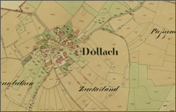
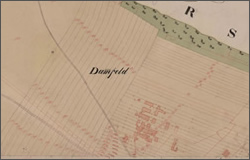
Austria: Döllach 1826 |

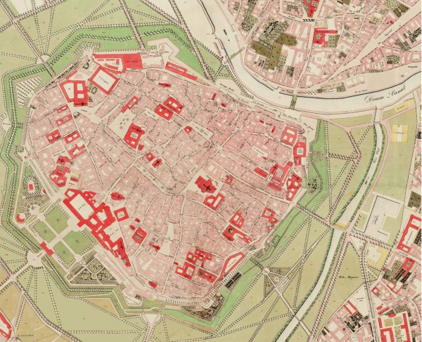
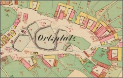
Austria: Wien 1829 |
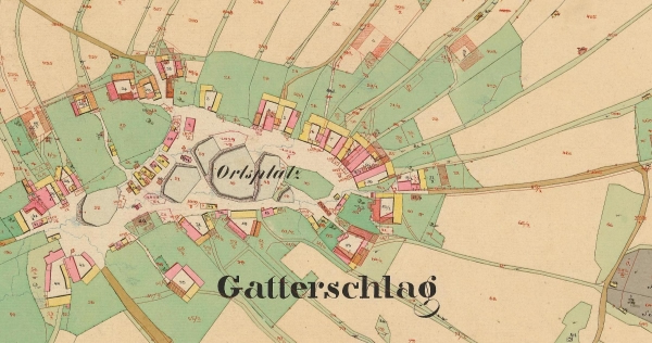
Czech Republic: Gatterschlag 1824 |
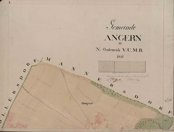
Slovakia: Angern 1821 |
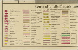
Zeichenschlüssel 1856 |
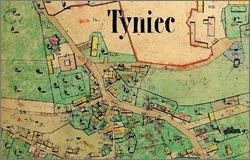
Maribor Franziszeischer Kataster |
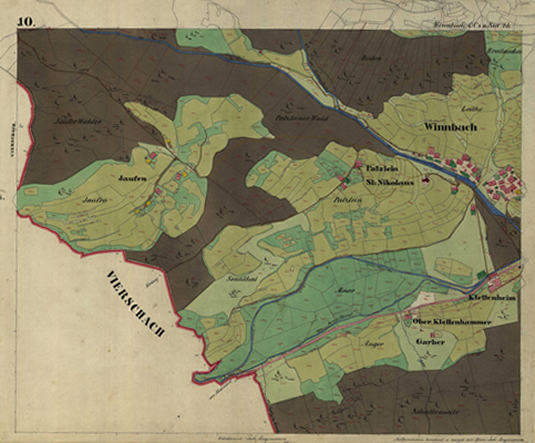
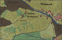
Italien/Südtirol: Winnbach |
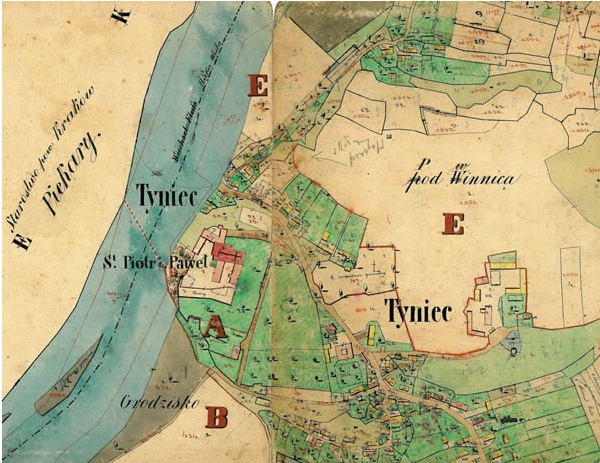
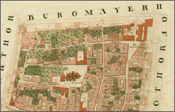
Indikationsskizze Krakau |
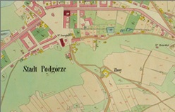
Ukraine/Polen Podgorze 1844-1854 |
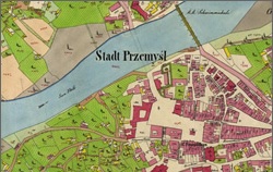
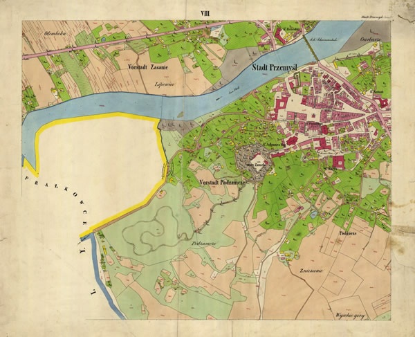
Cadastral_map_Przemysl_sekcja8 |

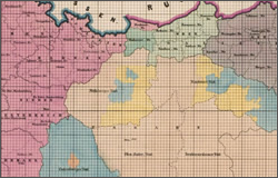
Indikationsskizze / heutiges Polen |
Parzellenprotokoll Krakau 1844 Polen
This eminent cadastral survey under Franz I covered not only the
territory of the present Republic of Austria, but also of all other
countries of the former Austro-Hungarian Monarchy - that is to say Poland,
Ukraine, Romania, the Czech Republic, Slovakia, Slovenia, Croatia, and
Italy.
The Federal Office of Metrology and Surveying (BEV) wants to increase
publicity, information and easier access to all the cadastral maps and
parcel protocols, in order to create an easy and effective usability for
numerous applications. BEV as the supreme cadastral authority in Austria has
stored all original cadastral map sheets for the territory of Austria from
the cadastral survey under Emperor Franz I, 1817-1861 in its cadastral maps
archives in Vienna.
In order to inform you about all present depositories, addresses and
summaries of the specification of the different archives in all the
different countries are listed below.
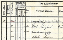
The cadastral maps and the corresponding parcel protocols are of great
importance and interest to the owners, surveyors, historians, and
geographers. These data describe the history of the ownership, the course of
the boundaries and the land use of all parcels in the scales 1: 2880, 1:
1440 or 1: 5760. The maps are available to the public for free for
consultation and viewing. Reproductions can be bought and are produced as
ordered. The interest of the public and science is increasing constantly.
Susanne Fuhrmann
E-mail:
susanne.fuhrmann@bev.gv.at
Further information:
|